Reading a 100-Kilometre "Z"
The Bay of Quinte is a long, narrow arm of Lake Ontario on the lake's north shore. It runs from Trenton in the west, past Belleville and Deseronto, down the Long Reach to Picton, then out Adolphus Reach toward Kingston and the open lake.
Draw that path on a map and you get the letter Z. Each arm of the Z fishes differently.
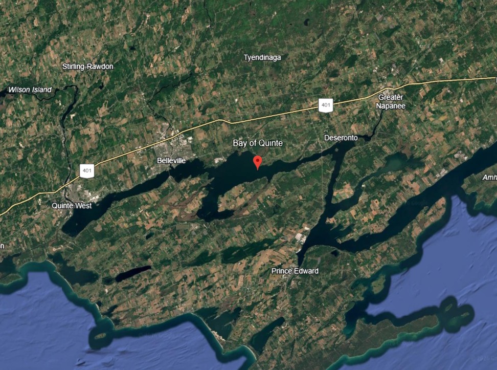
The upper bay near Trenton and Belleville is shallower and warmer. It grows thick weedbeds that hold bass, pike, and panfish. The middle and lower reaches get deeper, with channels and trenches that drop to 80 feet. That deep water is the highway trophy walleye use in fall.
Clear Water Changed the Game
Water clarity changed everything here. Invasive zebra mussels cleared the water decades ago. Clear water pushed fish deeper and made them warier. But it also helped sight-feeding predators grow big. Today's Quinte anglers fish deeper, use more subtle baits, and lean on electronics more than the old-timers ever did.
Rules and Zones
The bay sits in Fisheries Management Zone 20 (FMZ 20). Check current Ontario regulations before you fish. One local rule worth knowing: east of the Glenora ferry line in Adolphus Reach, each angler may run two lines while trolling. West of that line, it's one line per angler.
Depth Charts
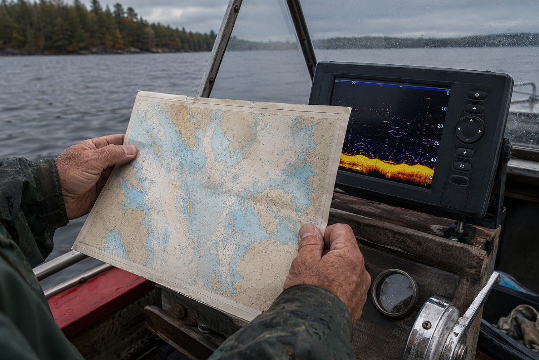
Depth charts are easy to find. Free and paid map sources cover the bay well, and most modern sonar units include Quinte contours. Study the channel edges — that's where fall fish travel. Then match your season to the depth: shallow flats in spring, deep reaches in summer, 20-to-40-foot channels in fall.